
A Return to a Classic May-Feel for Thursday
SPRINGFIELD, Mass. (WGGB/WSHM) - Today, we’re a little cooler and less muggy compared to yesterday. Highs range in the middle 70’s under a mix of sun and clouds.
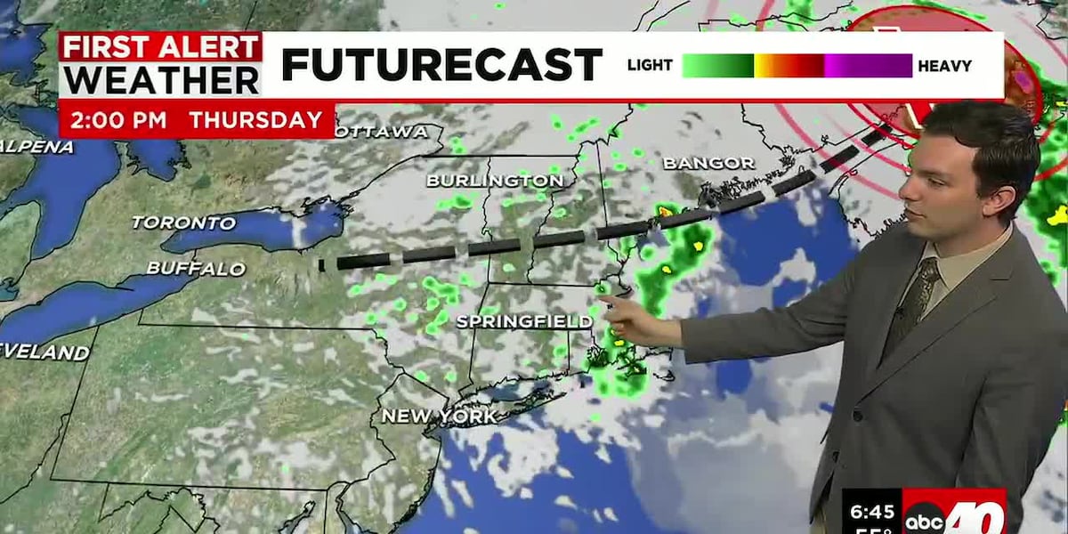
Some upper-level energy swings through, which brings a chance for a hit or miss spot shower, but the majority of the day is dry.
Tonight, we’re partly cloudy and cool with lows falling into the upper 40’s and lower 50’s.
Friday, also a dry day with sun and clouds with highs in the low to mid-70’s. An upper-level low swings through late in the day Friday, bringing some cooler temperatures and spotty showers. This lingers into Saturday.
Saturday is cool with spotty showers and a lot of clouds. Highs range in the 50’s to around 60°. Not a washout. We should pick up a couple tenths of an inch of rain, with showers ending by around mid-day.
With enough cold air in place, Northern New England could see some accumulating snow in the highest elevations of the Green and White mountains! Luckily for Western Mass, it’s just rain.
Sunday is still looking like the nicer of the two weekend days. Sun and clouds with highs around 70°. Next week, it’s the first week of June. Cooler and somewhat unsettled to start, then trending drier and warmer as the week goes on.
Copyright 2026 Western Mass News (WGGB/WSHM). All rights reserved.
Read the Original Article
This article was originally published by Western Mass News. Click below to read the full article on their website.
Visit Western Mass News