
Breezy & Milder for Wednesday
SPRINGFIELD, Mass. (WGGB/WSHM) - It was another cold start to the day on Wednesday as many of us began in the 20’s. While it was cold this morning, our moderating temperature trend continues.
Today, we’ll see highs ranging in the lower, perhaps middle 40’s. Thanks to a wind out of the south. It’s breezy at times with winds gusting between 20-30 mph. Otherwise, we’re in and out of clouds today.
Tonight, it’s cold and breezy with lows falling into the 20’s with mostly clear skies.
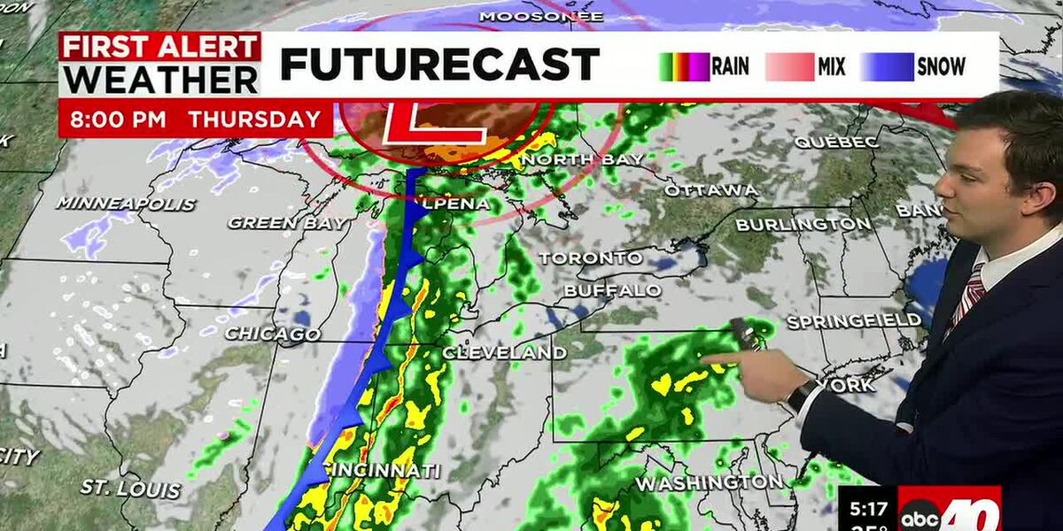
Thursday is likely our nicest day this week. It’s mostly sunny and mild. Highs ranging in the middle 40’s with a lighter wind. Then it gets rainy and windy for Friday.
Friday will be a First Alert Weather Day, for a couple of reasons. A cold front brings some periods of steady to heavy rain early in the morning, impacting the commute, and lasting through mid-day. This could bring the chance for some large puddles on the roads or isolated flooding.
Our bigger concern through will be the wind. We may see winds gusting between 40-50 mph at times, especially in the first half of the day. This means we could see isolated power outages and wind damage.
By the end of the day Friday, it’s breezy and it’s starting to get colder as we get behind our cold front.
Saturday will be chilly and breezy with highs in the 30’s under a mix of sun and clouds. Sunday is the official first day of Winter, and we’ll see sun and clouds with highs in the lower 40’s.
Next week, the week of Christmas, is trending seasonable. Meaning daytime highs are likely ranging in the 30’s. There are a few chances for some snow showers, so fingers crossed for a white Christmas!
Copyright 2025. Western Mass News (WGGB/WSHM). All rights reserved.
Read the Original Article
This article was originally published by Western Mass News. Click below to read the full article on their website.
Visit Western Mass News