
Breezy with a Mix of Sun & Clouds to Start the Week
SPRINGFIELD, Mass. (WGGB/WSHM) - It’s a cold and breezy start to the day as winds gusts between 25-45 mph at times.
** A Wind Advisory is in effect through 9am Monday for Berkshire County, and Western Hampden, Hampshire & Franklin Counties**
Today will otherwise feature a mix of sun and clouds with highs near 40°. Winds will make it feel closer to the lower and middle 30’s. It remains breezy today, but winds are slowly relaxing throughout the day.
Tonight, we’re mostly clear and cold with lighter winds. Lows ranging in the 20’s.
Tuesday will likely be the nicest day of the week. We’ll see mostly sunny skies, light winds and highs ranging in the 40’s. Very nice for January standards. Then our pattern turns more unsettled.
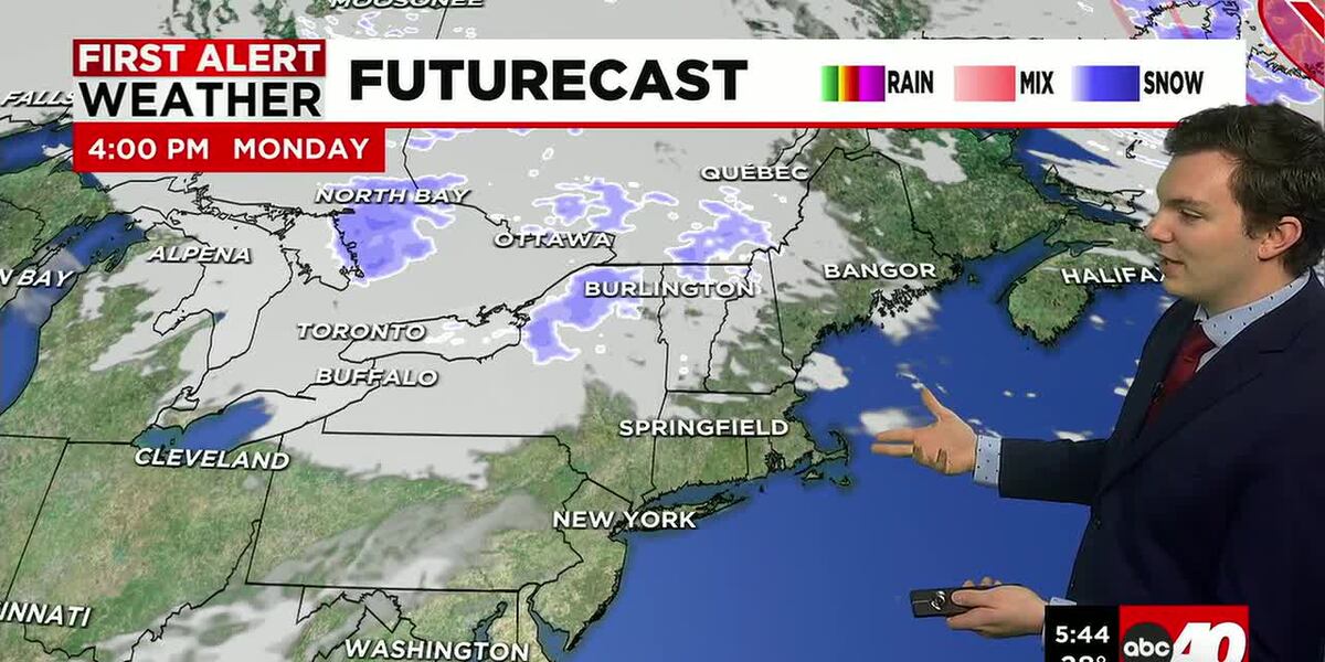
Tuesday night into Wednesday, a clipper system comes through that will bring us some brief rain and snow showers overnight. Luckily, it is brief, so by the time we wake up Wednesday, it’s already out.
Wednesday will then feature mainly cloudy skies with a few isolated spot showers. Highs on Wednesday ranging in the 40’s, so still mild, just featuring less sun.
Thursday, we’re watching the development of a coastal low near or offshore, with may bring the chance for a few rain and snow showers. Right now, things are not looking overly impressive, but rather just unsettled. Something we’re keeping a close eye on.
By Friday, we’re turning colder. Perhaps a few flurries early in the day, otherwise it’s mostly sunny, breezy and cold with highs ranging in the middle to upper 20’s.
The weekend looks to start off good, with sun and 30’s on Saturday. Then another chance for some rain and snow showers Sunday. This would be followed by a colder and breezy start to the following week.
Copyright 2026 Western Mass News (WGGB/WSHM). All rights reserved.
Read the Original Article
This article was originally published by Western Mass News. Click below to read the full article on their website.
Visit Western Mass News