
Brisk, Chilly end to the Work Week
SPRINGFIELD, Mass. (WGGB/WSHM) - We saw more of the same today with mostly cloudy skies, chilly temperatures and gusty winds. Any flakes and sprinkles will wane this evening. Temperatures will settle into the lower and middle 40’s this evening then with some partial clearing will fall into the upper 20’s and low to middle 30’s.
Friday will remain blustery and chilly under a mixture of sunshine and clouds. Temperatures will top off in the middle 40’s. With a clear sky and a diminishing breeze tomorrow night temperatures will fall into the 20’s by Saturday morning.
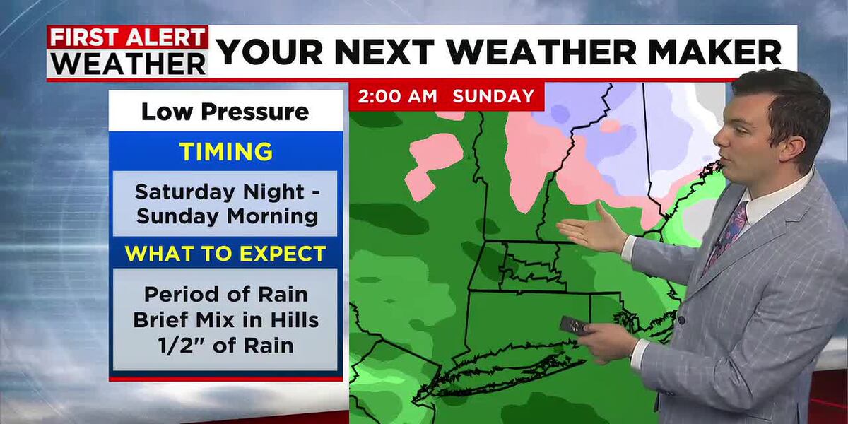
Sunshine will give way to increasing clouds by mid to late afternoon on Saturday with highs in the mid to upper 40’s. Low pressure will slide through northern New England with it’s cold front moving through western Mass brining us a period of rain from about 7 pm through the wee hours of the morning on Sunday. We’ll likely pick up 1/4″ to 1/2″ of rainfall.
Next, we’re watching the chance for a more widespread rain for Saturday night into Sunday morning so a decent soaking. Temperatures will stay in the 40’s Saturday night.
Sunday will remain mostly cloudy with a few spotty showers. Highs will top off near 50 around noon the slide through the 40’s in the afternoon with gusty breezes. Wind may gust up to 35 mph from time to time as the colder air streams back in. There will be more snow showers in the hills and Berkshires.
Copyright 2025. Western Mass News (WGGB/WSHM). All rights reserved.
Read the Original Article
This article was originally published by Western Mass News. Click below to read the full article on their website.
Visit Western Mass News