
Cold Night Ahead, Mild Start to the Weekend
SPRINGFIELD, Mass. (WGGB/WSHM) - Overnight will be mainly clear and cold with a diminishing breeze. Temperatures will fall into the 20’s as the wind goes calm leading to some scattered frost.
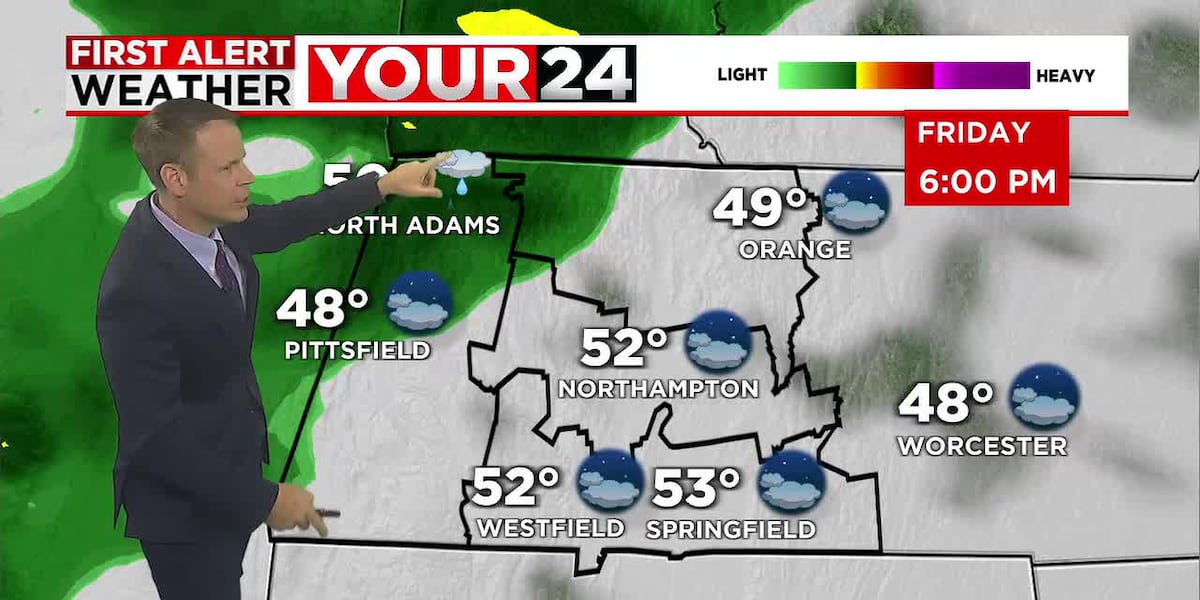
Friday will start cold and in some cases frosty. The day will feature a blend of sun and clouds ahead of our next system which will bring showers and periods of light rain Friday night, ending late Friday night. Most will pick up about 1/4-1/2″″ of rainfall. Saturday will be mild and breeze with a mixture of sunshine and clouds. It will be a pleasant November day with highs in the lower 60’s.
Out next system arrives on Sunday with increasing clouds. Showers develop later in the afternoon on even evening. Lets plan on showers by mid to later afternoon as a front slowly slides our way. Low pressure will ride along the front and likely bring us a steady, cold, rain Sunday night into Monday. We could pick up about 1″ of rainfall.
Behind this system the coldest air of the season arrives on strong northwesterly winds. Temperatures the middle of next week look to stay mainly in the 30s and 40’s. There may even a be a few flurries around on Veteran’s Day, Tuesday, but no big storms just a blustery, chilly northwesterly flow.
Copyright 2025. Western Mass News (WGGB/WSHM). All rights reserved.
Read the Original Article
This article was originally published by Western Mass News. Click below to read the full article on their website.
Visit Western Mass News