
Cool & Mainly Dry to Start the Week
SPRINGFIELD, Mass. (WGGB/WSHM) - After a cool and unsettled weekend with rain for part of Saturday and changeable conditions Sunday, we’re looking cool and mainly dry for your Monday.
Today features a mix of sun and clouds with a light breeze and highs ranging in the middle and upper 60’s. We may also see a hit or miss spot shower as low pressure pulls away offshore, but most, if not everyone stays dry.
Today also marks 15 years since an EF-3 tornado swept across Western Massachusetts on June 1, 2011. That tornado touched down in Westfield at 4:17pm, and traveled across Hampden County, and lifted at 5:27pm near Southbridge.
Tonight, we’re mostly clear and chilly. With calm winds and clear skies, we can cool efficiently. Lows fall to either side of 40°, with many in the hills falling into the middle and upper 30’s.
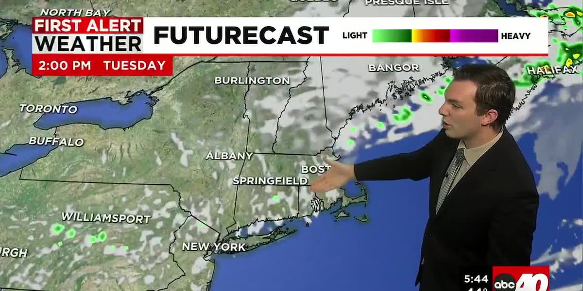
Tuesday, we have a mix of sun and clouds with highs ranging in the middle and upper 70’s.
The remainder of the week is looking nice. As each day passes, we get warmer each afternoon. Highs in the lower 80’s Wednesday, upper 80’s to near 90° by Friday. We’ll be mostly sunny each day too, with very manageable humidity, even as it gets warmer.
Copyright 2026 Western Mass News (WGGB/WSHM). All rights reserved.
Read the Original Article
This article was originally published by Western Mass News. Click below to read the full article on their website.
Visit Western Mass News