
Heat & Humidity to Return through Mid-Week
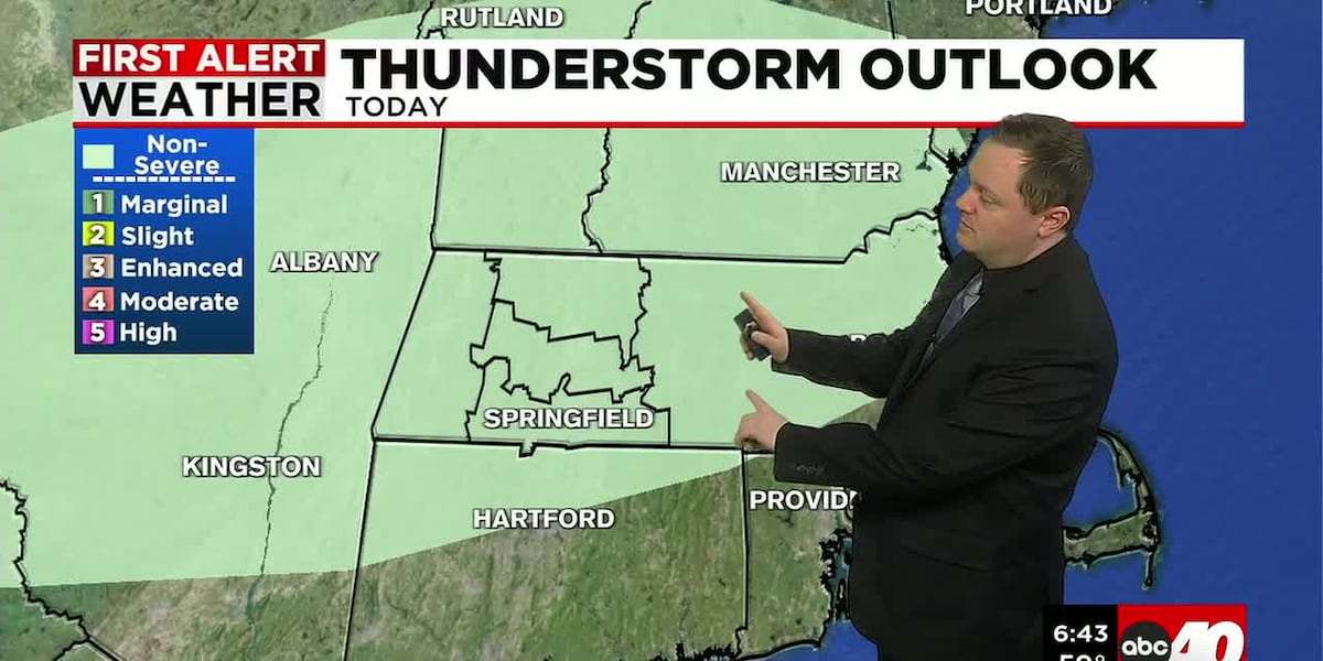
SPRINGFIELD, Mass. (WGGB/WSHM) - Any lingering isolated showers this evening will quickly taper off and end, leading to a warm and muggy night with lows in the mid to upper 60s. Mostly clear and dry conditions are expected. Winds will be out of the southwest at 5-10 mph.
Tomorrow, Wednesday, and Thursday will feature a return of the heat and humidity. We will see high temperatures back into the low to mid 90s. We will also see the dew points higher once again, making it feel rather muggy and uncomfortable.
**A Heat Advisory will go into effect at 11 AM Tuesday and continue through 8 PM Wednesday for eastern portions of Hampden, Hampshire, and Franklin counties. Heat index values up to 102° expected, so the hot temperatures and high humidity may cause heat illnesses. We have issued a First Alert Weather Day for both Tuesday and Wednesday.**
Mostly sunny skies for Tuesday will be followed by a mix of sun and clouds Wednesday and Thursday. Storm chances are isolated in nature. Winds will also be breezy out of the west at 10-15 mph with gusts between 20-30 mph.
For Friday and next weekend, we will see the temperatures dip back into the lower to the upper 80s with chances for showers and thunderstorms increasing as the pattern turns slightly more unsettled. A mix of sun and clouds can be expected once again. A system is currently tracking to our south which may bring us some rain.
We will wrap up our forecast the following week with highs in the 70s and 80s. We are currently forecasting mostly cloudy skies and chances for showers continuing.
Copyright 2026 Western Mass News (WGGB/WSHM). All rights reserved.
Read the Original Article
This article was originally published by Western Mass News. Click below to read the full article on their website.
Visit Western Mass News