
Hot & Muggy with an Evening Shower or Storm
SPRINGFIELD, Mass. (WGGB/WSHM) - It was another warm day Wednesday, we got to 88°, breaking a record high at Westover! The previous record was 87° set in 1941.
We also had another round of thunderstorms move through late last night and into the overnight. Most of us woke up to damp, warm and muggy conditions.
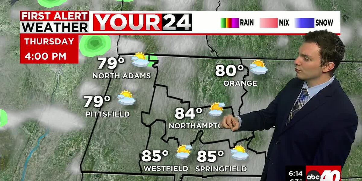
Today once again continues our July pattern in April. We’ll have sun and clouds for the majority of the day. It’s warm and muggy with highs in the mis to upper 80’s to near 90°.
Chance for a late-day or evening storm. Low but not-zero chance a storm could be strong to severe, but it would be isolated. For the most part, Western Mass just sees a few showers, downpours with a couple rumbles of thunder. Greatest risk for severe weather is in the upstate NY and southern VT area. Parts of Western Mass have been placed under a marginal risk again today.
Tonight, once any showers that come through end, we’ll be damp, muggy and mild with lows once again in the upper 50’s to around 60°.
Friday, we’re seeing sun and clouds with a hit or miss shower, but most, if not the entire day is looking dry.
The weekend is a few degrees cooler, but still warm. Highs in the middle and upper 60’s to near 70°. Dry Saturday, with showers around on Sunday.
Right now, next week is starting off cool, then a return to seasonable temperatures as the week goes on.
Copyright 2026 Western Mass News (WGGB/WSHM). All rights reserved.
Read the Original Article
This article was originally published by Western Mass News. Click below to read the full article on their website.
Visit Western Mass News