
Mild Temperatures with Late-Day Showers
SPRINGFIELD, Mass. (WGGB/WSHM) - It was a cold start for us, so watch for icy spots from yesterday’s melting. What a nice day yesterday too, where we got to 47°!
Today, we begin dry with building clouds. The majority of the day is dry. Then low pressure passes to our north. This means we are on the warm side of low pressure.
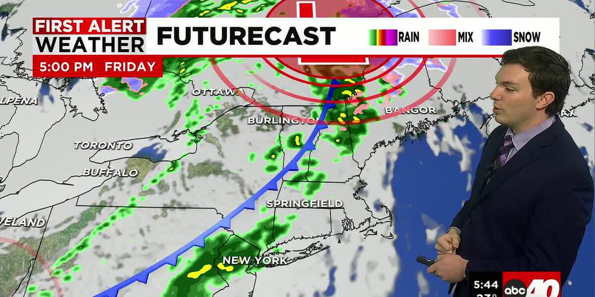
Shower chances increase by the afternoon. Between 3-8pm would be our window of opportunity for scattered showers. Not a washout. Temperatures should range in the 40’s, so this would come in the form of plain rain.
Tonight, we’re drying out, and it turns breezy as we get behind a front. Some patchy fog and partly cloudy skies with lows falling into the 30’s.
Saturday, we start the day dry with a mix of sun and clouds. Then once again, throughout the day, we’ll see building clouds with shower chances increasing by the afternoon. Temperatures should range in the 40’s.
This low passes to our south, so some colder air tries to work in, so we may start as some wintry mix in our higher elevations. Otherwise, just periods of rain lasting into Saturday night.
By Sunday morning, rain has ended and with low pressure to our north and a gusty breeze out of the northwest, we may see a few stray flurries or light snow showers during the day. Otherwise, it’s mostly cloudy with highs in the lower 40’s and upper 30’s.
Next week is trending dry with highs ranging in the 30’s and 40’s through Wednesday. Trending a bit colder towards the end of the week with a few chances for some snow showers.
Copyright 2026 Western Mass News (WGGB/WSHM). All rights reserved.
Read the Original Article
This article was originally published by Western Mass News. Click below to read the full article on their website.
Visit Western Mass News