
Periods of Rain & Downpours Tuesday & Wednesday
SPRINGFIELD, Mass. (WGGB/WSHM) - We started off the day warm and more humid, under mostly cloudy skies with some patchy fog.
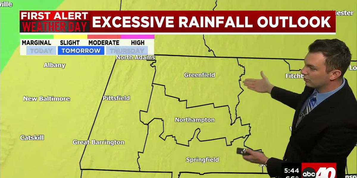
Tuesday and Wednesday are First Alert Weather Days due to heavy rain and potential for flooding.
** A Flood Watch is in Effect for all of Western Mass from 2pm Tuesday through 8pm Wednesday**
The first half of the day Tuesday is mainly cloudy and humid. Rain chances increase after 1pm. We’re tracking an area of low pressure passing through the northeast, bringing periods of heavy rain.
Western Mass is under a slight risk for flash flooding, a 2 out of 4 on the scale for Tuesday and Wednesday. Otherwise, highs both days range in the upper 70’s with high humidity. Winds may also gust between 20-30 mph, so it’s a wind-swept rain.
All said and done, we’re likely to pick up at least 2-4″ of rain with localized spots seeing higher amounts depending on where some of the heaviest downpours set up. The main concerns will be street flooding. Rivers and streams should be able to handle the rain as we’re seeing low levels due to our drought at this time.
Thursday, it remains humid, and we’ll see some leftover showers as low pressure moves away. Highs range in the upper 70’s.
Friday, we’re drying out. It remains humid, but we’ll see a mix of sun and clouds. Perhaps an isolated shower or storm later in the day.
Right now, the weekend looks mostly dry. Sun and clouds Saturday and Sunday with highs ranging in the 80’s. Chance for a mid-day or afternoon spot shower. Most of both days will be rain-free.
Copyright 2026 Western Mass News (WGGB/WSHM). All rights reserved.
Read the Original Article
This article was originally published by Western Mass News. Click below to read the full article on their website.
Visit Western Mass News