
Pleasant Start to the Week
SPRINGFIELD, Mass. (WGGB/WSHM) - After a gorgeous Sunday, we have a nice start to the week.
A cool, crisp, refreshing start to the day with temperatures for many of us beginning in the upper 40’s and lower 50’s. Today, we’re partly to mostly sunny with highs in the upper 70’s to lower 80’s, and a lighter breeze. Humidity remains low and air quality continues to improve. Air quality index today should be in the “good” range.
Tonight, we’ll see building clouds with lows falling to either side of 60°. A slightly muggier feel perhaps by early tomorrow morning.
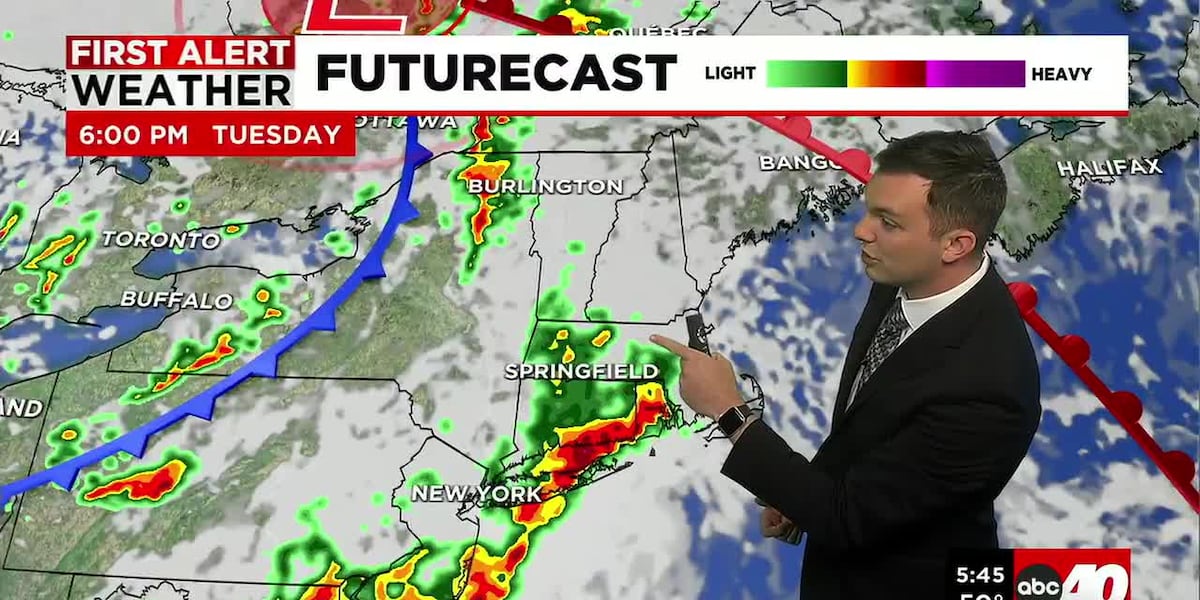
Tuesday, a warm front comes through early in the day. This will increase our humidity and also allow for some downpours and thunderstorms to develop later in the day ahead of a cold front.
Tuesday is a First Alert Weather Day due to the threat for strong to severe storms. The storm prediction center places Western Mass under a Marginal risk for severe weather, 1 out of 5 on the scale. The bigger threat remains to out south and west. Main concerns would be isolated damaging straight-line winds and heavy rain.
Wednesday, as our cold front pushes through, we’ll see some leftover humidity and showers. Then gradual improvement as the front moves away.
By Thursday and Friday, we’re back to sunshine and lower humidity. Highs continue to range in the low to mid-80’s. Very normal temperatures. Right now, next weekend is also looking nice. Mostly sunny with highs in the 80’s.
Copyright 2026 Western Mass News (WGGB/WSHM). All rights reserved.
Read the Original Article
This article was originally published by Western Mass News. Click below to read the full article on their website.
Visit Western Mass News