
Strong Wind and Rain Today with Unseasonable Warmth!
SPRINGFIELD, Mass. (WGGB/WSHM) - Today is a First Alert Weather Day
Wind Advisories begin this morning for the Pioneer Valley and High Wind Warnings continue for the Berkshires. Wind continues to increase as strong low pressure moves from the Great Lakes into Southern Canada, which will bring a strong cold front into western Mass late this morning into the early afternoon.
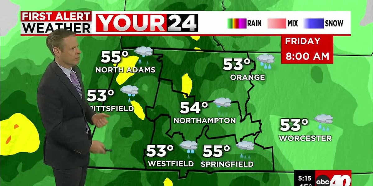
Showers also become more numerous this morning with more of a soaking rain taking over at the tail end of the commute into the early afternoon. As the cold front approaches, brief heavier rain is possible along with a rumble or two of thunder.
Southerly wind gusts may top 40-50mph through Noon or so with gusts to 60mph possible in the Berkshires-which may cause scattered tree damage and power outages. Temperatures will also continue to climb, maxing out in the middle to upper 50s before the cold front comes through. The record high to beat is 54 in Springfield, set back in 1949!
Once the cold front passes, wind will shift to the west-northwest and lighten for a few hours. Gusts will pick back up again through the afternoon out through tonight with gusts to 40-50mph possible-even overnight. Colder air will also build back into the region, which should bring some snow showers to the Berkshires and some rain and snow showers to the valley later in the day. Temperatures drop back below freezing tonight, which may cause some icy spots where wind hasn’t dried things out. Wind Headlines should end just after midnight.
WEEKEND
Our weekend will feature quieter weather with breezes easing Saturday and temperatures back to near normal. We will get some sun and clouds mixed with more clouds for Saturday night into Sunday morning. Another cold front approaches early Sunday with a flurry or snow shower, but it doesn’t look like we see much-if anything. Gustier breezes pick up Sunday with highs hitting upper 30s to low 40s.
Colder air dives in Sunday night and Monday with highs only reaching around 30 degrees, brr! Skies look sunny for most of the day, then clouds drift back in with our next storm system.
For those of us in the valley our hopes for a white Christmas rest on a clipper system that will move through the area on Tuesday. This system may bring us a period of light snow or some snow showers. This may whiten things up in time for Christmas Eve. Both Christmas Eve and day look dry and seasonable at this point.
Copyright 2025. Western Mass News (WGGB/WSHM). All rights reserved.
Read the Original Article
This article was originally published by Western Mass News. Click below to read the full article on their website.
Visit Western Mass News