
Sun & Clouds Wednesday, Humid with Storms Thursday
SPRINGFIELD, Mass. (WGGB/WSHM) - We had another cool, crisp, refreshing start to the day as many of us started in the 40’s and 50’s.
Today, we’re partly sunny in the morning as high pressure slides away. Highs in the 70’s to near 80°. An approaching warm front may bring us a few hit or miss showers this afternoon, but many of us stay dry.
Tonight, we’ll see some spotty showers move in as a warm front passes through. Getting going after midnight. It’s also turning more humid with temperatures on either side of 60°.
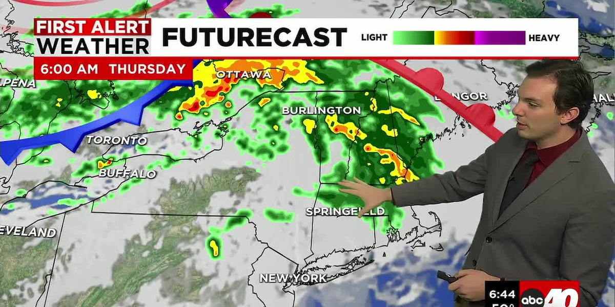
Thursday is a First Alert Weather Day. It’s warm and humid. We’ll have spotty showers around in the morning. Then, a cold front approaches, and ahead of that front, we will see some rain, downpours and some thunderstorms with gusty winds. Storms roll through between about 2-6pm.
Some of those thunderstorms have the chance of being strong to severe. The storm prediction center places Western Mass under a slight risk for severe weather, 2 out of 5 on the scale.
Behind the front, Friday, Juneteenth, is drier, less humid and breezy under a mix of sun and clouds.
This weekend right now is also looking nice. Partly to mostly sunny both Saturday and Sunday. Highs in the upper 70’s to around 80°. Windy at times, especially Saturday. Sunday by the way is the first day of Summer and Father’s Day!
Next week looks to start muggy, and rainy, then drying out as the week goes on.
Copyright 2026 Western Mass News (WGGB/WSHM). All rights reserved.
Read the Original Article
This article was originally published by Western Mass News. Click below to read the full article on their website.
Visit Western Mass News