
Sunny and cold to begin our weekend, but some rain Saturday night
SPRINGFIELD, Mass. (WGGB/WSHM) - Low pressure situated in Eastern Canada that has been influencing our weather for the last few days will finally depart as we head into the weekend.
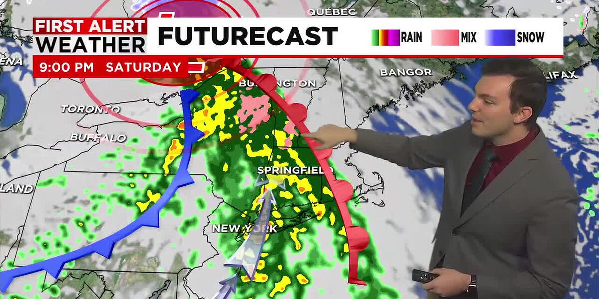
Tonight, skies clear out and winds go calm, so it will be cold. Lows fall into lower and middle 20’s. But quick on our departing storm’s heels, another storm system will begin to approach from the west. Our Saturday will feature good sunshine through the first half of the day with building clouds by the afternoon. Highs range in the lower to middle 40’s with a light breeze. We’ll get through the entire day rain-free, but we are tracking some rain for Saturday night with the approach of a warm front.
Low pressure tracks to our north, and we’re on the milder side of the system. Rain gets going between 7-8pm Saturday and lasts through the overnight. We may start as a very brief rain and snow mix in the higher elevations but will quickly turn to just a soaking rain.
By Sunday morning, rain is coming to an end around sunrise. It’s mild to start the day with temperatures near 50°. Then as low pressure moves away, colder air works in so temperatures will drop throughout the day, and it turns windy. Winds may gust between 30-40 mph at times.
On Monday, we’re partly sunny with another taste of winter. It’s cold with highs ranging in the upper 30’s to near 40° with a gusty breeze and perhaps a few flurries, especially in the higher elevations.
Right now, most of next week is trending dry, chilly and breezy with shower chances returning by the end of the week.
Copyright 2025. Western Mass News (WGGB/WSHM). All rights reserved.
Read the Original Article
This article was originally published by Western Mass News. Click below to read the full article on their website.
Visit Western Mass News