
Sunny & Warm Trend Continues Tuesday
SPRINGFIELD, Mass. (WGGB/WSHM) - We had a gorgeous top 10 weather day Monday. It was sunny, 80°, with low humidity. High pressure continues to control our weather, so we look to continue this nice trend today, though a little warmer.
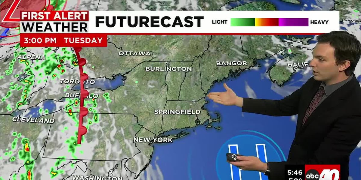
Today, we’re mostly sunny with highs ranging in the middle and upper 80’s with humidity remaining low.
Tonight, we’re partly cloudy and cool with lows falling to either side of 60°. We hang onto a little bit of a breeze, and we may also get a slight muggy feel by Wednesday morning as the dew points start creeping up.
Wednesday, we’re partly sunny, hot and turning a little bit more humid as our dew points rise into the 60’s. We’re also dry for the majority of the day, though a warm front in the evening may bring a few spotty showers or even some rumbles of thunder. This would likely be in the evening, meaning the daypart is dry.
Thursday and Friday are both hot and humid. Highs range in the lower 90’s with dew points in the upper 60’s and lower 70’s. We’ll have sun and clouds for many hours each day, but enough instability in the atmosphere, to where we’ll likely see some a few isolated thunderstorms fire up in the afternoons. Severe weather threat as of now remains very low.
Right now, the weekend is shaping up nice. Sun and clouds both Saturday and Sunday. Still warm but less humid with highs in the upper 80’s to around 90°. A cold front comes through at some point to bring a break in the heat, allowing for some cooler temperatures next week.
Copyright 2026 Western Mass News (WGGB/WSHM). All rights reserved.
Read the Original Article
This article was originally published by Western Mass News. Click below to read the full article on their website.
Visit Western Mass News