
Temperatures Moderate Throughout the Week
SPRINGFIELD, Mass. (WGGB/WSHM) - It’s another cold start to the day, though an improvement overall compared to Monday thanks to a calm wind. Watch for some slick spots.
Today, we’re mostly sunny and not as windy. Highs range in the lower 30’s, with a breeze at about 5-10 mph. Wind chills range in the 20’s. Still cold, but not as frigid.
Tonight, we’re partly cloudy with lows falling into the 20’s. Winds also start to increase out of the south.
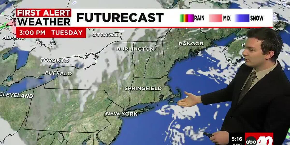
Wednesday, we’ll see more clouds around as a low pressure system passes to the north. Most of the day is dry, but we may see a brief isolated shower or flurry near the late afternoon or early evening. This is as a cold front passes through. That front falls apart though as it moves through, so very minimal precipitation is expected.
Temperatures also start to trend a little milder. Both Wednesday and Thursday highs should range in the lower and even middle 40’s.
Your Next Weather Maker comes in on Friday. This will be caused by low pressure and a cold front. Ahead of the front, winds out of the south bring warmer temperatures ranging in the 50’s. We’ll see periods of rain, which may be heavy at times.
Then as we get behind the front, colder air works in, and it turns breezy. This weekend is looking dry and chillier. Highs on Saturday range in the 30’s, lower 40’s on Sunday under a mix of sun and clouds both days.
Next week, the week of Christmas, we’re trending seasonable temperature wise, with a few chances of rain and snow showers.
Copyright 2025. Western Mass News (WGGB/WSHM). All rights reserved.
Read the Original Article
This article was originally published by Western Mass News. Click below to read the full article on their website.
Visit Western Mass News