
Textbook Early June for Tuesday
SPRINGFIELD, Mass. (WGGB/WSHM) - We have a chilly start as many of us start in the upper 30’s and lower 40’s with a few areas of patchy fog, otherwise mostly clear skies.
Today, we have a mix of sun and clouds with highs ranging in the middle and upper 70’s. A weak upper-level disturbance comes through and brings us the chance for an isolated hit or miss shower, but most stay entirely dry today. Light breeze, and low humidity today.
Tonight, we’re mostly clear with moon-lit skies. It’s chilly with lows falling into the lower and middle-40’s.
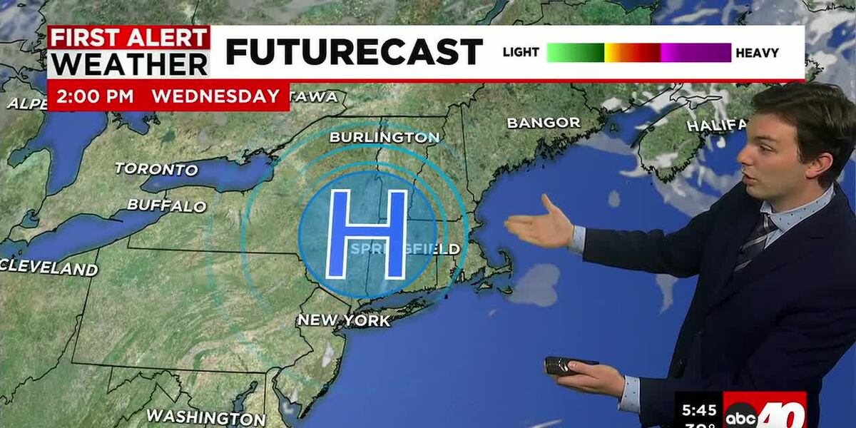
The remainder of the week is looking nice. High pressure builds in to control our weather pattern. As each day passes, we get warmer each afternoon. Highs in the lower to middle-80’s Wednesday, upper 80’s to near 90° by Friday. We’ll be mostly sunny each day too, with very manageable humidity, even as it gets warmer.
A cold front comes through over the weekend. Saturday is looking partly sunny, warm and muggy ahead of that front. Highs in the middle-80’s. The afternoon and evening may feature a few showers and thunderstorms. We’ll be able to narrow down timing as we get closer.
Sunday is looking cooler, and we may remain a little unsettled with spotty showers. Highs look to range in the low to mid-70’s.
Copyright 2026 Western Mass News (WGGB/WSHM). All rights reserved.
Read the Original Article
This article was originally published by Western Mass News. Click below to read the full article on their website.
Visit Western Mass News