
Tracking Snow for Friday Night
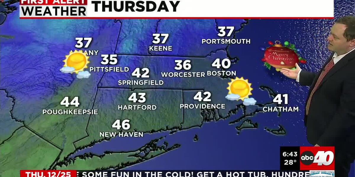
SPRINGFIELD, Mass. (WGGB/WSHM) - We’ve seen a blustery, but seasonable Christmas Day across western Mass. Snow showers and flurries have been affecting parts of Berkshire County today, but nothing significant has been seen.
Gusty breezes remain ongoing this evening, then will back down to around 10-20mph after midnight. Temperatures drop into the teens overnight with a wind chill in the single digits both above and below zero!
High pressure building over southern Canada will keep a solid winter chill in place for Friday with highs staying in the 20s. Northerly breezes will be much lighter than today, but still around 5-10mph at times, which will make it feel a bit colder. We are tracking low pressure over the upper Mid-West that will bring a round of wintry precipitation to southern New England and the mid-Atlantic by Friday evening, so clouds will increase throughout the day.
Friday will be a First Alert Weather Day, but winter weather will not arrive until 6-8pm and should exit early Saturday morning. This narrow, but potent band of snow will bring amounts from 8 inches to possibly a foot in areas like New York City, northern NJ and possibly SW Connecticut. For western Mass, we should see light amounts around an inch or so up in eastern Franklin County, to around 3-4 inches in Springfield, to 6 or 8 inches in southern Berkshire County.
Winter Weather Advisories are up for Berkshire County and western Hampden County from Friday evening to early Saturday morning for hazardous travel conditions, but this is a very tight snow gradient… so any shift farther north may bring more snow than expected and any shift south will lower amounts. Overall, not a big storm, but expect slick travel conditions Friday night and early Saturday AM. Shoveling is likely Saturday morning for most.
Sunshine returns Saturday afternoon, then clouds are back Sunday ahead of another storm system. This one should bring a brief round of freezing rain Sunday night-near and after 8pm, which will turn to rain by Monday morning-keeping the impact to travel low. Rain continues Monday, then strong, gusty wind kicks up Tuesday with colder temperatures.
Breezy conditions with occasional flurries are on tap New Year’s Eve Day, with lighter wind and seasonable temperatures at night to ring in the New Year. New Year’s Day is looking cold and dry.
Copyright 2025. Western Mass News (WGGB/WSHM). All rights reserved.
Read the Original Article
This article was originally published by Western Mass News. Click below to read the full article on their website.
Visit Western Mass News