
Tuesday is the Nicest Day of the Week
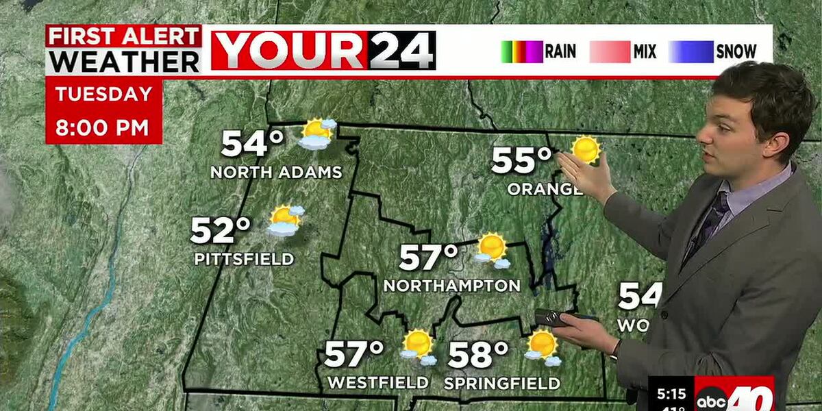
SPRINGFIELD, Mass. (WGGB/WSHM) - It was a chilly start for many of us on this Tuesday, even some patchy frost in some areas, especially in the hills.
Today though, is looking like the nicest day of the whole week. High pressure takes control of our weather. This will bring more sunshine with temperatures reaching the middle and upper 60’s.
Tonight, we’ll see building clouds with lows falling into the upper 30’s and lower 40’s.
Then our pattern for the remainder of the week turns more unsettled. Low pressure passing through the region will bring showers starting Wednesday morning. We’ll have showers off and on throughout the day Wednesday. When it’s not raining, it’s cloudy and damp. It’s also cool as lows are stuck in the middle and upper 50’s and lower 60’s.
Low pressure lingers and is slow to move out, so periods of rain linger into Thursday and Friday. A little spottier as we head into Friday especially, but the rain chances are still with us. It also remains cool with highs in the low to mid-60’s.
Then a pattern shift is looking more likely. To a drier and warmer pattern. Starting this weekend, we’re back to sunshine and high temperatures ranging well into the 70’s. This pattern looks to stick around even into next week.
Copyright 2026 Western Mass News (WGGB/WSHM). All rights reserved.
Read the Original Article
This article was originally published by Western Mass News. Click below to read the full article on their website.
Visit Western Mass News