
Very Mild with Spotty Showers Wednesday
SPRINGFIELD, Mass. (WGGB/WSHM) - What a mild start to our day for a January morning! Many of us are in the 30’s and even lower 40’s to start. That’s higher than our afternoon average highs!
Today will end up featuring mainly cloudy skies with a few spotty showers with highs ranging in the 40’s, so still mild.
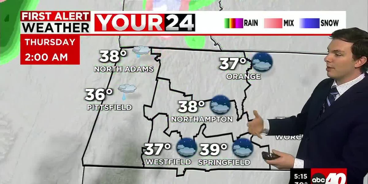
Tonight, we’re mainly cloudy and mild once again as lows range in the middle and upper 30’s. Perhaps an isolated shower or flurry by the early morning, but we’re looking mostly dry.
For the rest of the day on Thursday, it’s turning blustery and chilly. A cold front passes through later in the day, with colder air working in. We start Thursday with temperatures ranging in the 30’s to near 40°. Then by the afternoon, we’re closer to 30° with falling temperatures throughout the day.
By Friday, it’s colder, mostly sunny, and breezy with highs ranging in the middle to upper 20’s. It’s also breezy, winds may gust at times between 25-35 mph. This would put wind chills in the single digits above and below 0° in the morning, then in the teens and 20’s for the afternoon. A return to the January chill.
This weekend looks fine. Mostly cloudy both Saturday and Sunday. Perhaps a flurry or light snow shower Saturday, with highs near 40°. Colder and breezy by Sunday.
A trough builds in over the northeastern U.S. for next week, which will set in a colder pattern for next week. We’ll likely see highs only ranging in the 20’s and lower 30’s each day. Otherwise, it will be partly to mostly sunny each day.
Copyright 2026 Western Mass News (WGGB/WSHM). All rights reserved.
Read the Original Article
This article was originally published by Western Mass News. Click below to read the full article on their website.
Visit Western Mass News