
Warm & Windy Tuesday, Periods of Rain Wednesday
SPRINGFIELD, Mass. (WGGB/WSHM) - We had a pleasant start to our Tuesday. After a nice and warm Monday, we will continue with this trend. In fact, it will likely be even warmer.
Today, we’ll see highs in the Pioneer Valley range in the low to mid-80’s, upper 70’s to around 80° in the hills. Warm across the board. All under a mix of sun and clouds. It’s also windy today once again with gusts topping 40 mph at times.
An elevated risk for brush fires continues for all of Western Mass today.
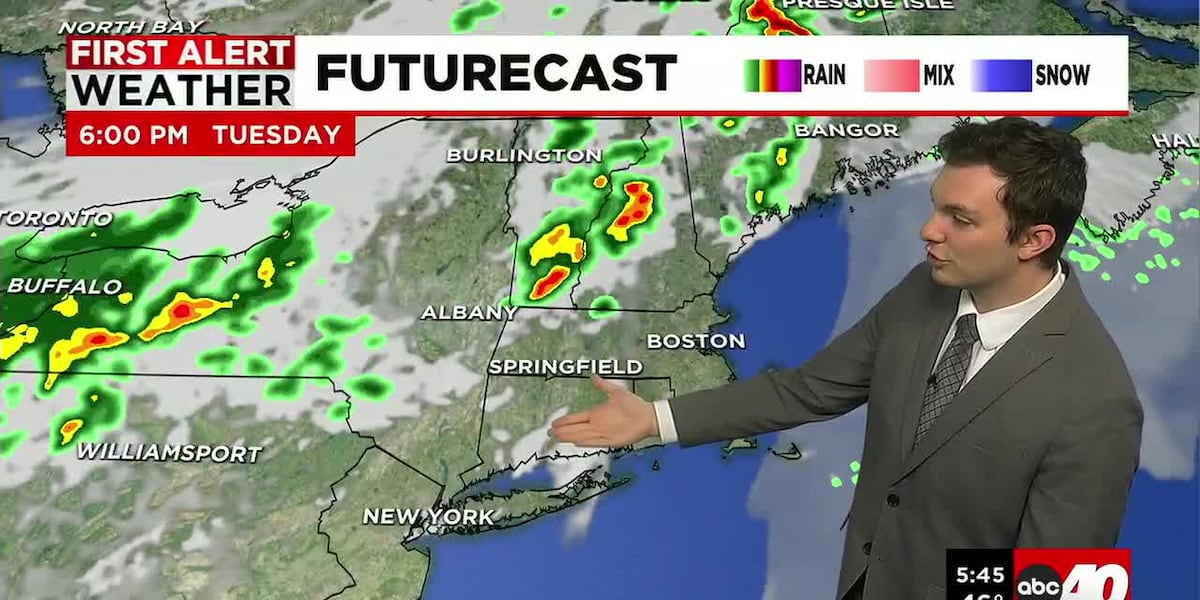
If you live northwest of Northampton, we run the risk for a hit or miss shower or storm. For more the exception than the rule. Bigger threat is in Northern New England. Though, if we were to see any hit or miss showers, it would likely be between 3-8pm.
Tonight, we’re partly cloudy and mild as lows fall to either side of 60°.
Wednesday, we’re mostly cloudy with some sun in the morning. An approaching cold front will bring us more clouds as the day goes on, and a period of rain later on. Breezy again, gusts between 30-35 mph.
In the late morning to mid-day Wednesday, rain should begin in Western Mass, and last through the rest of the day into Wednesday night. Rain should end before the sun rises on Thursday.
A good soaking, around a half inch to an inch of rain is expected.
Then for Thursday, we’re drier and cooler with highs on Thursday ranging in the lower 60’s. Upper 50’s to around 60° on Friday under a mix of sun and clouds.
This weekend, Showers are possible for Saturday, and Sunday, Mother’s Day, looking nicer. Sun and clouds with highs in the 60’s and lower 70’s.
Read the Original Article
This article was originally published by Western Mass News. Click below to read the full article on their website.
Visit Western Mass News