
Windy and Cold to End the Week
SPRINGFIELD, Mass. (WGGB/WSHM) - Watch for a few slick spots on the roads, sidewalks and driveways, especially in the hills.
Temperatures will have a tendency to fall throughout the day, with our high for the day likely reached early in the morning. We’re dry today with a mix of sun and clouds. Highs range in the lower 30’s.
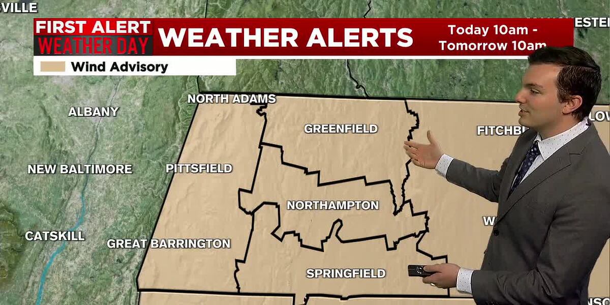
**Wind Advisory in effect for all of Western Mass through 10am Friday**
Winds may gust between 30-40 mph, perhaps over 50 mph in the hills. Wind chills may range in the single digits and teens when factoring in that breeze.
Tonight, we hang onto a gusty breeze and it’s cold. Lows fall to around 20° with wind chills ranging in the single digits above and below 0°.
Friday, we’re partly sunny cold and windy as well. Wind chills may still range in the teens. Then we look fine for the weekend with sun and clouds.
We’re tracking a clipper system passing to the south early Sunday morning, that could bring a few light snow showers. Most of the snow passes to the south, so this looks to not amount to much for us in Western Mass. Something we continue to watch for any changes.
By Sunday it’s also colder with highs in the upper 20’s to near 30°, with even colder air once again working in for Monday. It’s also windy once again Monday, so there will be wind chills to deal with.
As we push deeper into next week, we may finally see temperatures moderating, trending closer to 40°.
Copyright 2025. Western Mass News (WGGB/WSHM). All rights reserved.
Read the Original Article
This article was originally published by Western Mass News. Click below to read the full article on their website.
Visit Western Mass News